Our Stories
At The Elwha
Double D Gets Lost along the Elwha River from Madison Falls to Whiskey Bend Road
Saturday, May 02, 2026
The Story
Double D woke up, before the sunrose to set off on an adventure by 5:30am, a late start for us.
This adventure would take us along Highway 101 North through the Olympic National Forest. The road was pleasant and without pot holes. Recent slides did mean there was quite a bit of road construction and several one lane roads. Though this did delay our travel it did not stop or detour our plans. It is the nature of HWY 101.
Arriving at the Madison Falls Trailhead at around 8:00am there were a handful of cars. There is a bathroom at the trailhead. A pit toilet and you will want to breathe through your mouth when using it. However it was stocked and unlocked! A wonderful treat.
The two snacked at the trailhead to fuel up for the trek, they were hoping to find the mysterious Wolf Creek Waterfall along the Smokey Hill Trail. Rumors from Google Earth show it exists; though in our research the waterfall continued to be a mystery. We did not check out Madison Falls, the trail was in the opposite direction of our start point and we wanted to be on our way.
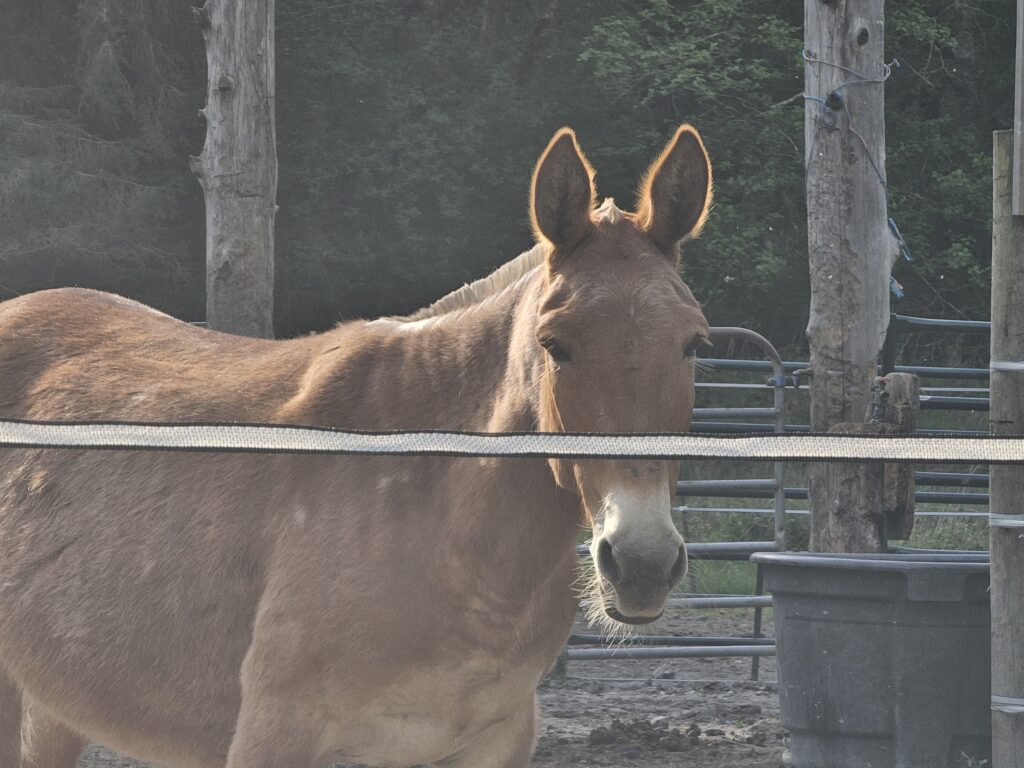
The trail starts by passing a gate and walking along the Olympic Hotsprings road. This road was closed in 2017 when major flooding caused the road to be washed away with the river. At the beginning of the trail there is a herd of mules. These are working mules that the Olympic National Park uses to help with work throughout the Olympic National Park. Be sure to say Hi to them, but don't get too close. The fence is sparky.
Walking along the paved trail, not long after we started, we took the bypass trail. This trail climbs up and over the washed out road. The trail is well maintained and easy to follow. Hard dirt, a couple roots, a bit of incline ,and lots of ferns. Ferns are iconic to this area of the Olympic National Park and feel like treasure. The bypass trail is only about 0.5 miles long and a welcoming warmup to the trail.
After leaving the bypass trail the dirt path turns back into pavement as you meet back up with the Olympic Hot Springs road. The trail continues to the left but we turned right to get a glimpse of where the road once was. Standing at the edge of what was once a road and watching the rushing river is something that causes you to take pause. The pure strength of that river. The water was crisp and the kind of blue that is hard to describe. Dani said if there was a crayon called "River" that is the color of the Elwha river.
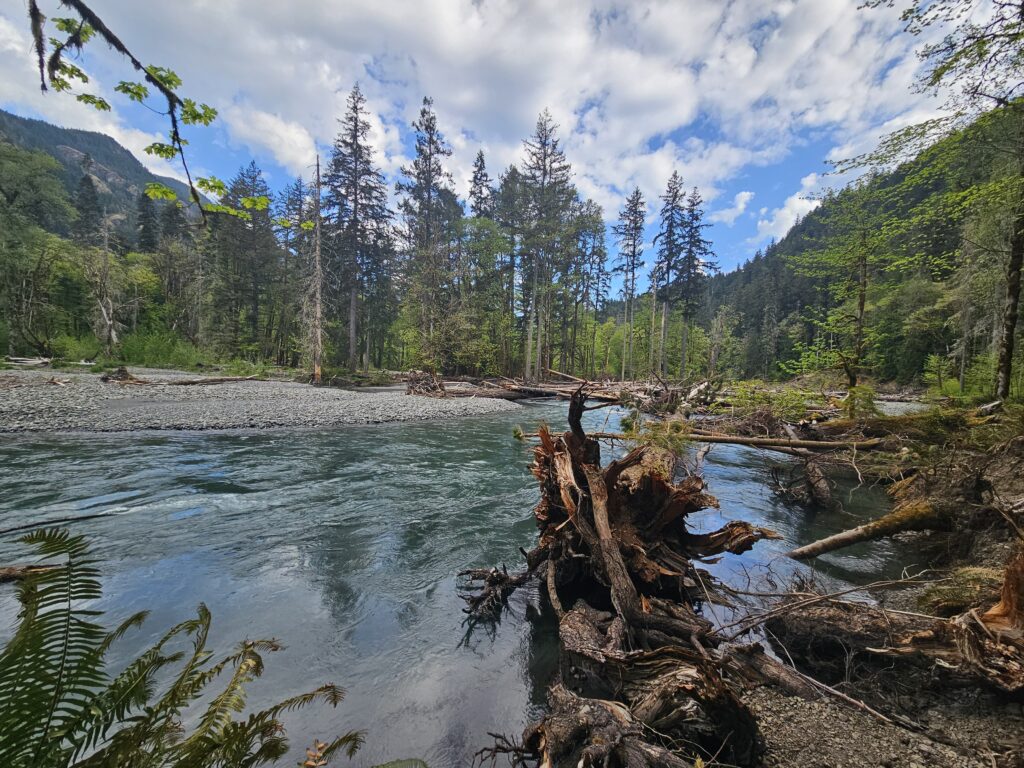
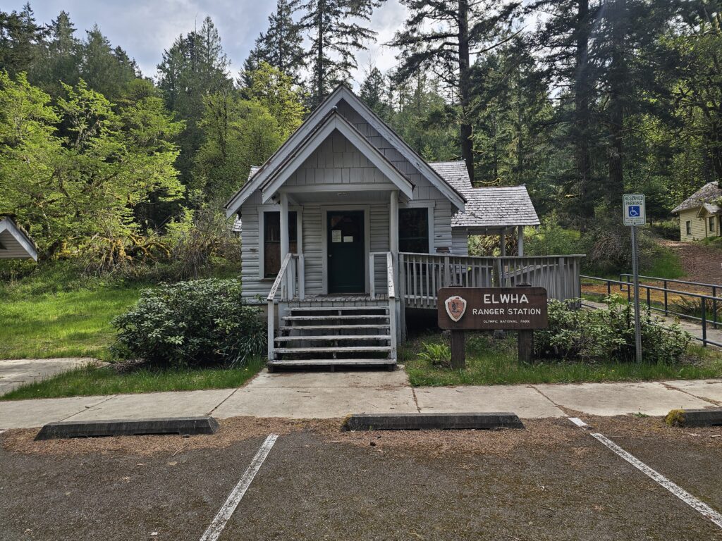
After spending several minutes at awe over the river we turned back around and continue on our trek to Wolf Creek Falls. Not long after passing the bypass trail we passed what was once the Elwha River Ranger Station, the housing and other buildings that once supported this part of the National Park. Due to the road being washed out these buildings have not had regular workers or been of use since 2017.
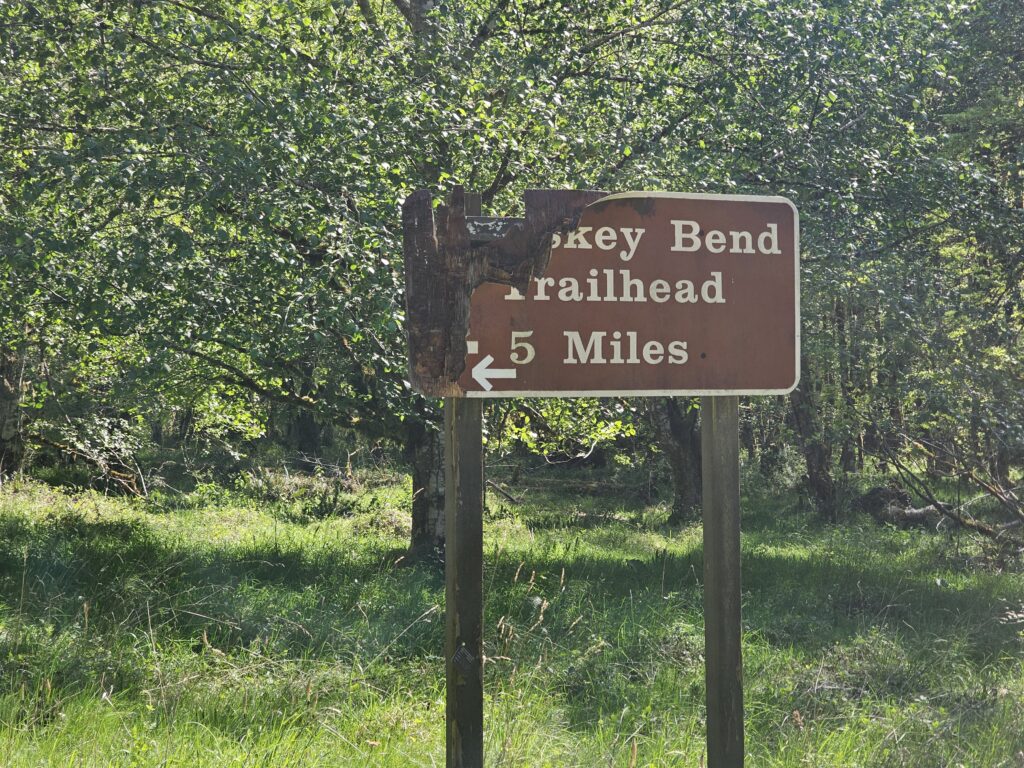
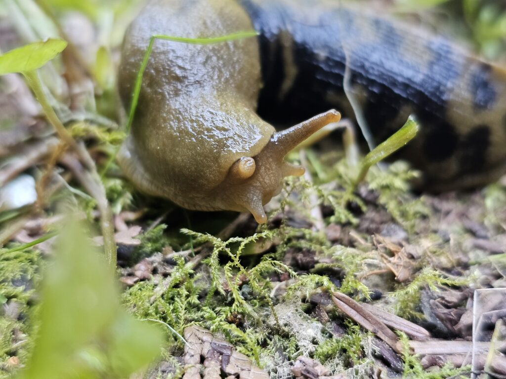
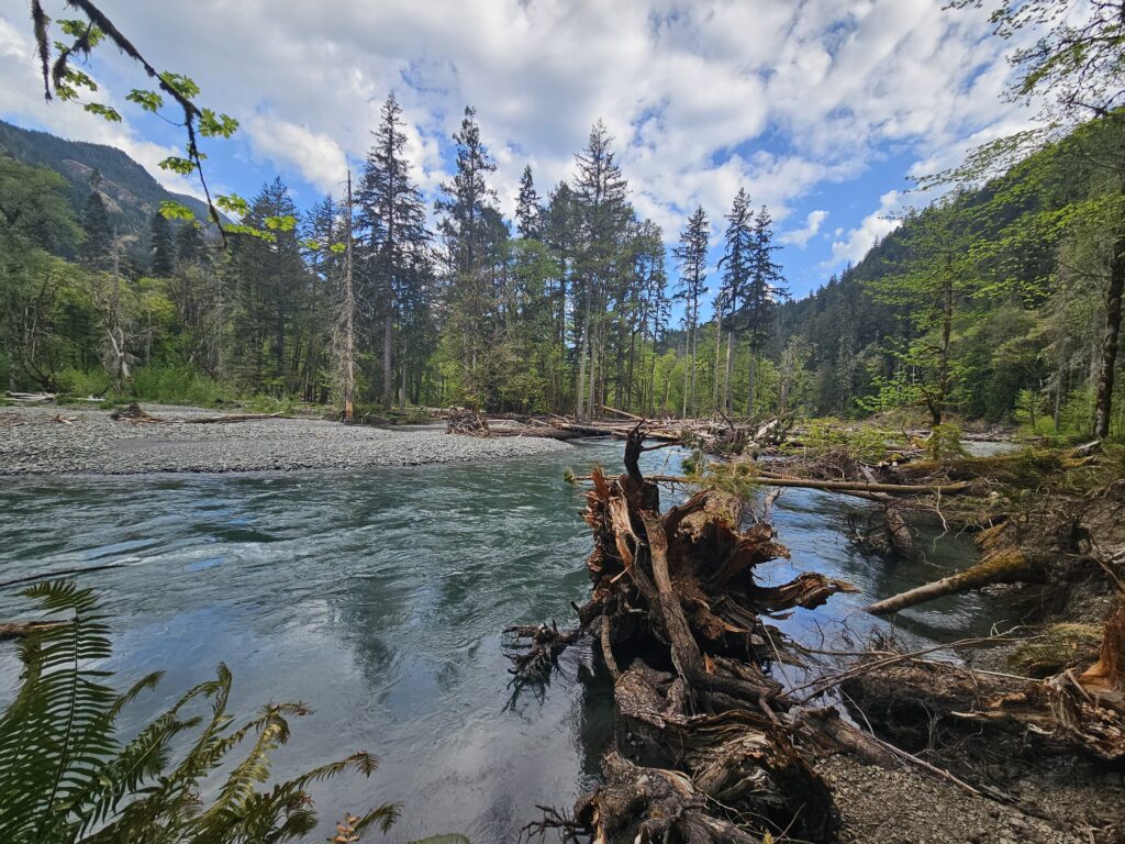
Following the signs, and our map, we followed the Whiskey Bend Road. This road was surprisingly well kept at the start. If we could have teleported our Accord it would have easily been able to drive the road. The elevation gain was mild and neither of us felt strained making our way up the road.
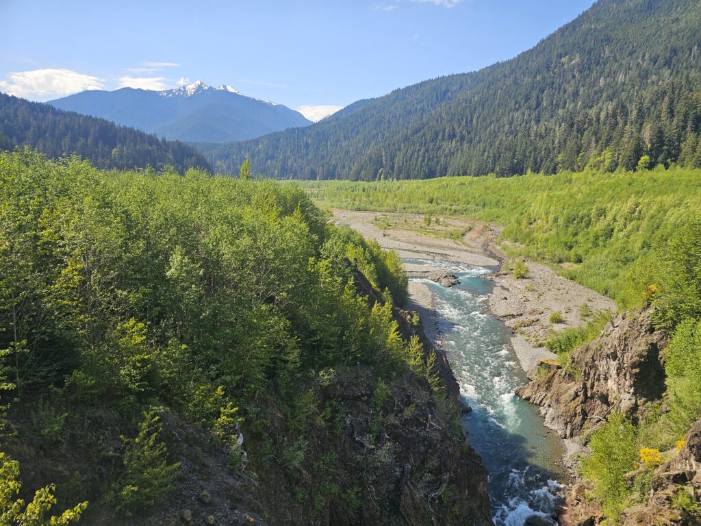
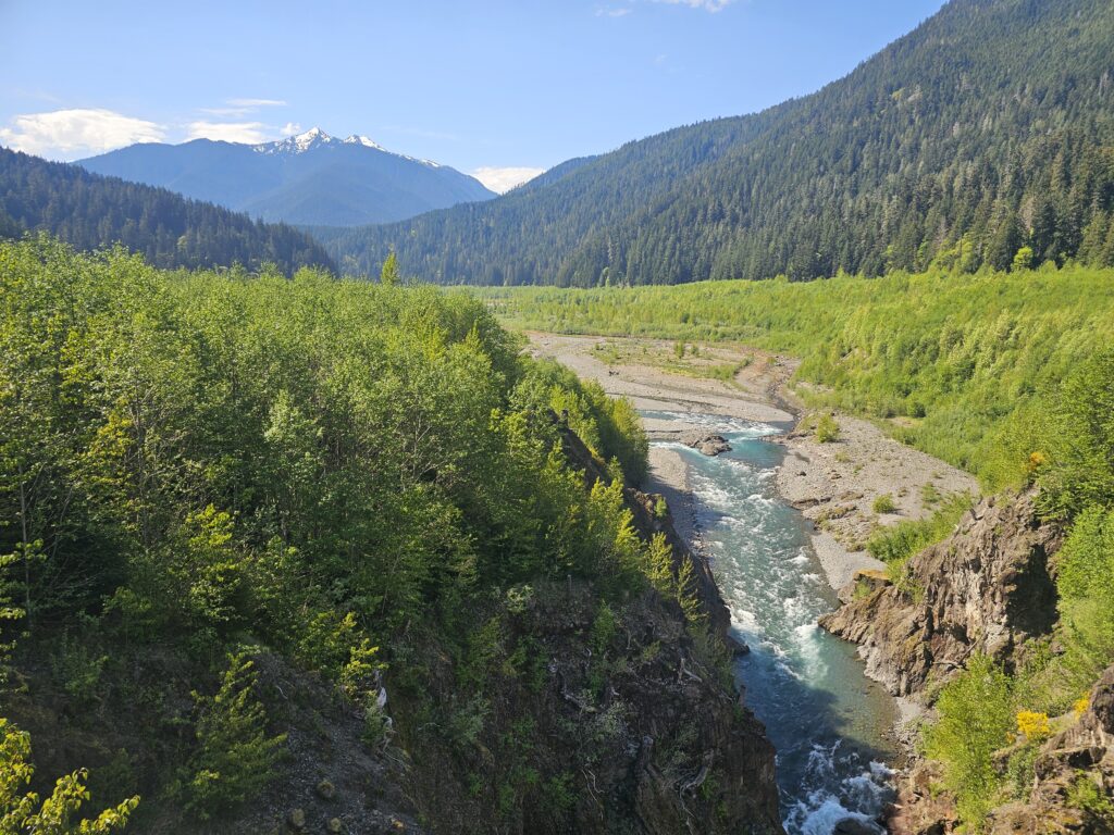
After about 1 mile from the Ranger Station we came to the Glines Canyon overlook. This was once a dam, but in 2017 the dam was removed to preserve and help salmon to be able to swim along the river. Standing on top of the old dam there was a 360 view of the river and a glimpse of the snowy Olympic Mountains.
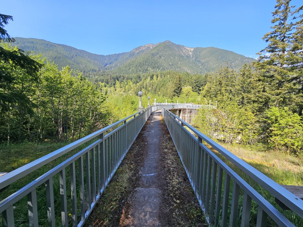
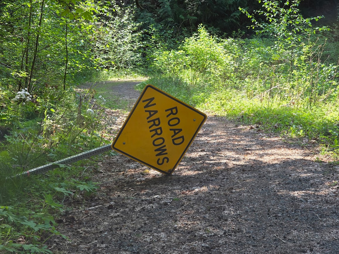
Back on the trail we continue to climb up the Whiskey Bend road that went from well maintained to crumbled and cautious stepping. We wandered our way up the road and following the map found the Smokey Hill Trail. There was no signage, but it appeared to be a clear path. However, we only went a few feet along the trail before the trail went from moderately maintained, to unmaintained to a suggestion of a trail that once was. We decided to turn back around and go back where we came. We were not prepared to create our own trail.
Looking at our downloaded map we could see that we were only about a quarter of a mile from the Whiskey Bend trailhead so we continued on up the road with a new destination in mind.
When we arrived at the Whiskey Bend Trailhead we were suprirsed to find a well maintained sign, and a picnic table. This is where we elected to take our lunch.
After our lunch we headed back up the road and to our car. On the way back we did not take the bypass trail but continued on the Olympic Hot Springs road.
Trail Conditions
The trail was overall in really great shape. The only time the trail got dicey is when we ventured off to try and find Wolf Creek Falls. Otherwise we had no struggles navigating where we were headed. This is the benefit of the trail being an old road.
The trail was also pretty secluded after the dam we had the trail after the dam completley to ourselves and then on the way back we saw maybe 5 people. The PERFECT way to explore the Olympic National Park.
Watch on YouTube!
Adventure Details
At a Glance
Miles - 14.7
Elevation Gain - Unknown
Time - 6:45
**Data taken from a Fitbit Charge 6**
What We Carried
Pack: Deuter Trail S28 / Osprey Stratos 36
Gaiters: Dirty Girl Gaiters
Shoes: Adidas Terrex Skychaser / Adidas Other Hiking Boot
Trekking Poles: These
Snacks, Second Breakfast, and more
Breakfast - Granola & Yogurt
Lunch - Peanut butter and Jelly Sandwich
Dinner -
Trail Snacks - Carrots, CHOMPS Meat Sticks, Austin's Peanut Butter Crackers, Roasted Edemame, dried figs, salted almonds and dragon fruit
Extras - Nerds Gummy Clusters & LMNT Electrolytes
Soundtrack
Follow us & Get Lost!
Double D Gets Lost