Our Stories
At Mount St Helens | Hummocks Trail to the Observatory 2nd Attempt
Double D makes a second attempt at the Hummocks Trail to the Johnston Ridge Observatory
Saturday, May 09, 2026
The Story
On Saturday, May 09, 2026 Double D Gets Lost returned to Mount St. Helens to try a second attempt to make it to the Johnston Ridge Observatory. Due to the washout on State Route 504 (Spirit Highway) the only way to get to the Johnston Ridge Observatory is by hiking up. Please note the Johnston Ridge Observatory itself is closed.
Waking up early we arrived at the Hummocks Trail Trailhead at around 7:30am. The trailhead had a handful of cars and there was no difficulty finding a place to park our car. The road to the trail is easy to navigate and without potholes. There are no bathrooms at the Hummocks Trail Trailhead, but there are bathrooms (with flushing toilets!) across the street at Coldwater Lake.
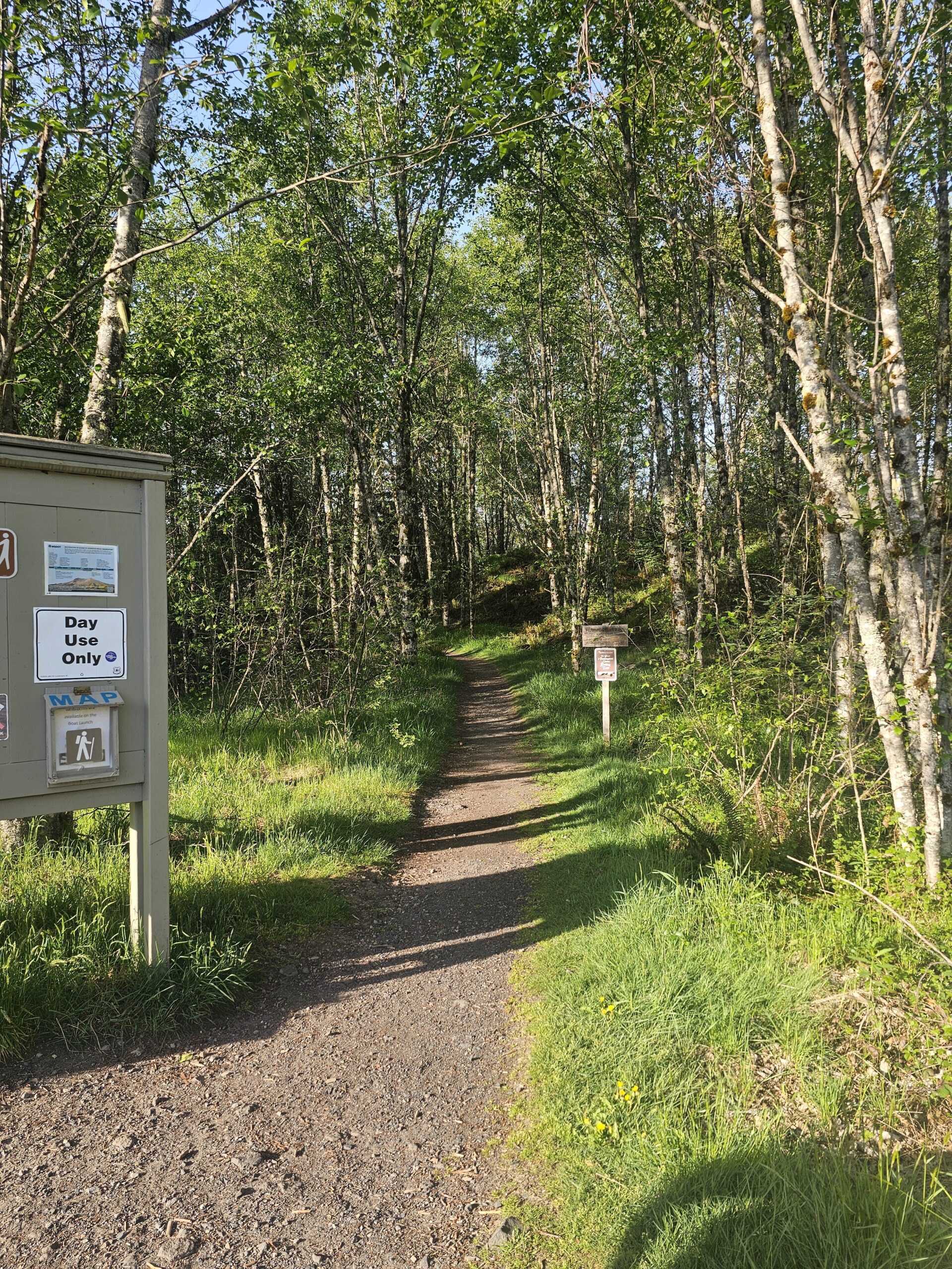
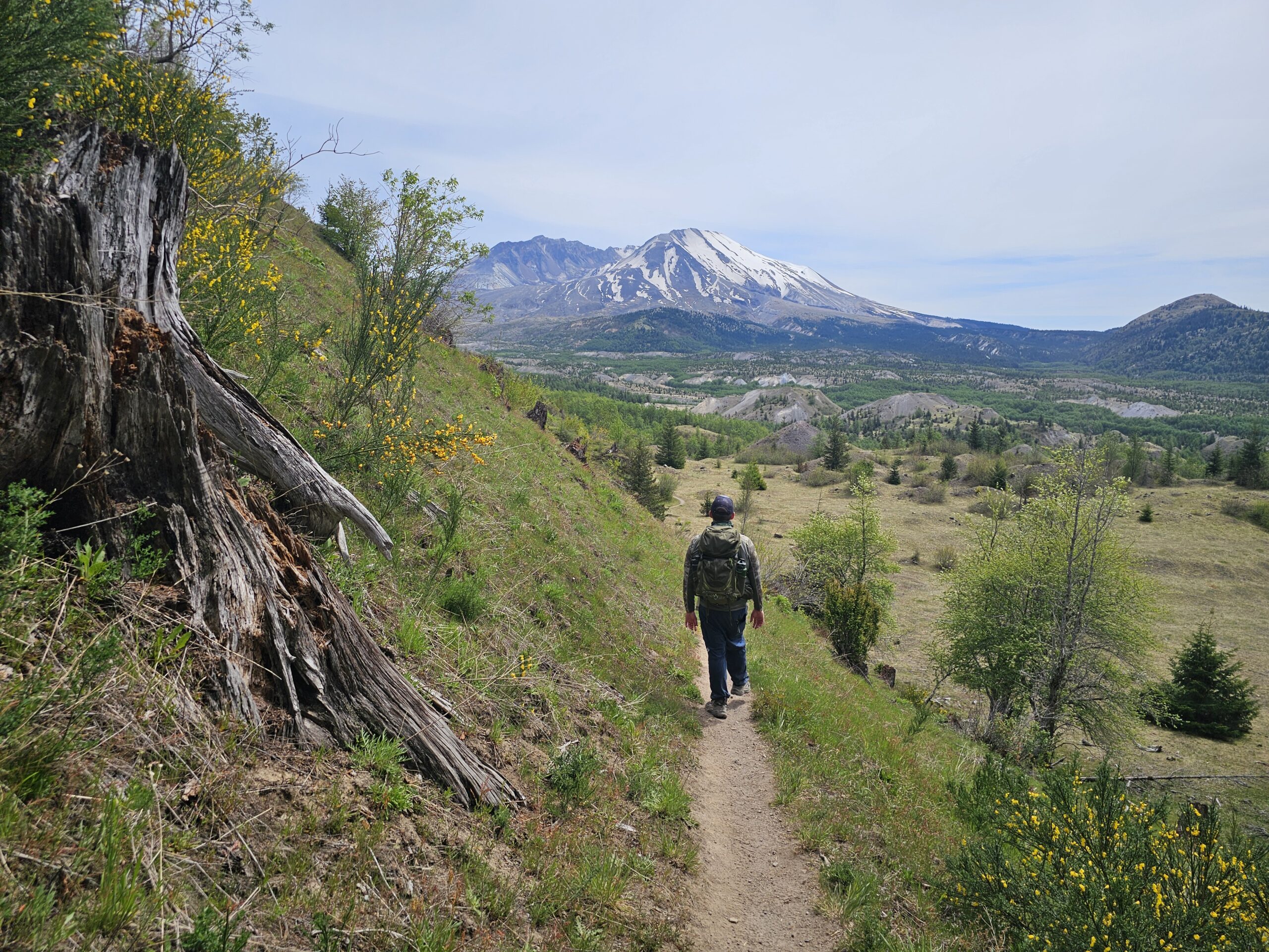
We took the Hummocks Trail going clockwise, there are two starting points to the Hummocks Trail one to the left of the trailhead sign/map and another on the other side of the parking lot. The trails do loop together up top, however, the route we took was more gradual and a bit shorter. We had a couple snacks as we strapped our packs on and started our hike. The Hummocks Trail starts as a dirt path that gradually climbs through marsh and trees. The trees are very tall and skinny and surrounded by ferns and marshy ground. The trail itself is well maintained and easy to navigate. Along the trail there are several informational signs that will provide you with bits of information about the place you are hiking. The Hummocks Trail was built upon a piece of the mountain that blew off during the eruption in 1980.
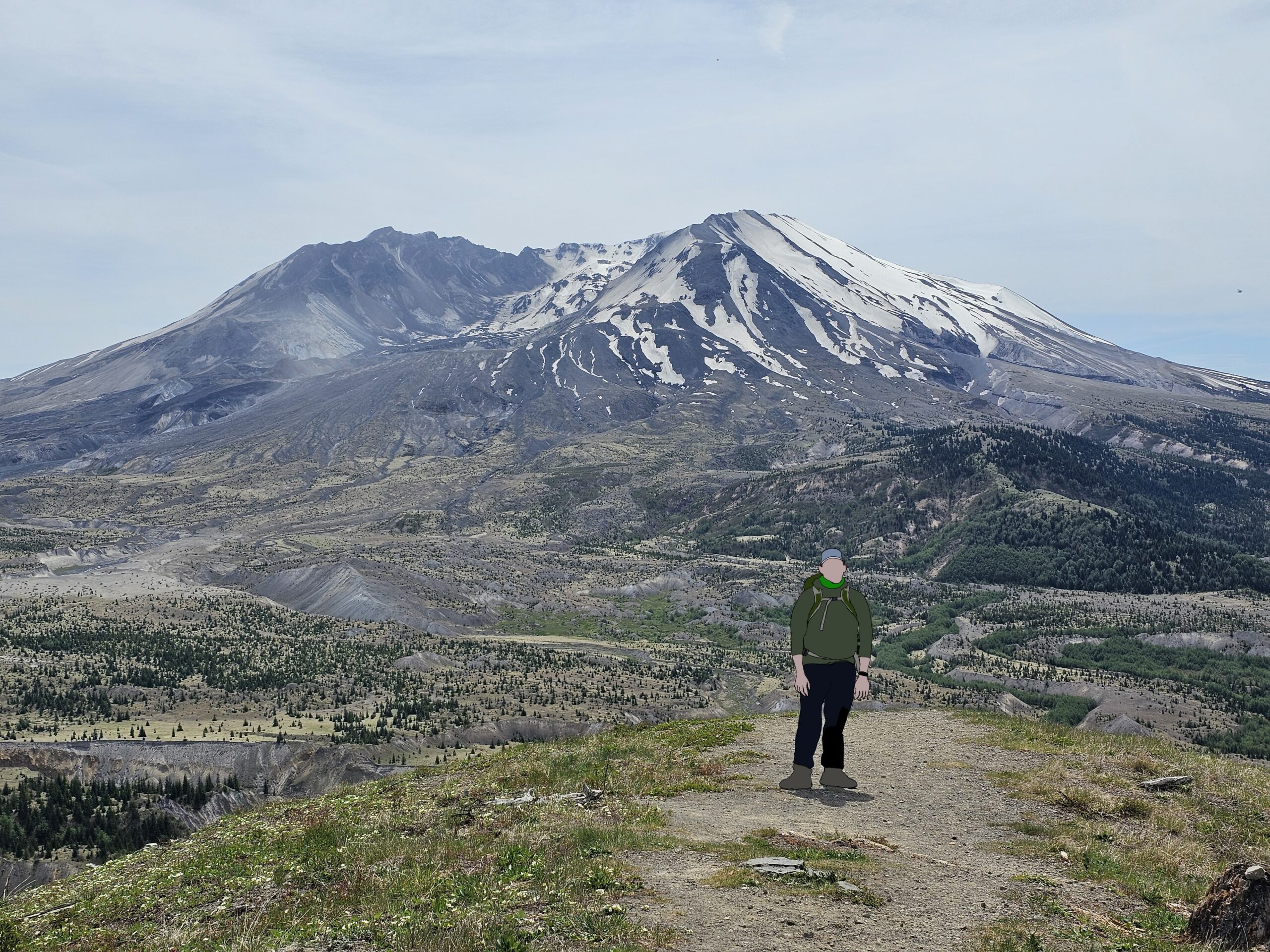
Less than a mile into the Hummocks Trail the trees part way and you are greeted with a full view of Mount St Helens and the juncton with the Boundary Trail. If you continue going right you will complete the Hummocks Trail Loop, if you go left you will start to climb up the Boundary Trail. We drank in the sight of the mountain and then took the trail to the left and started our way up the Boundary Trail.
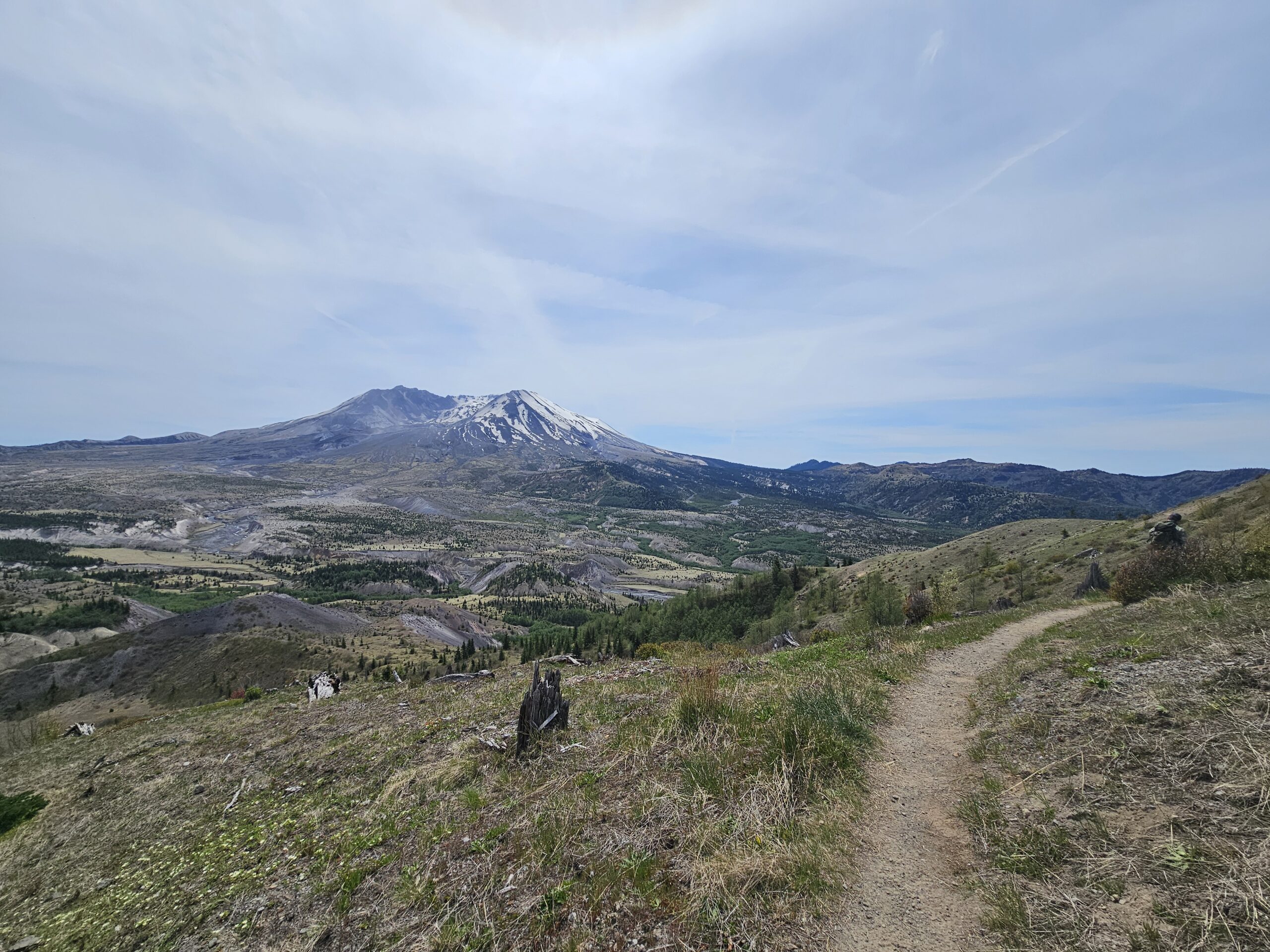
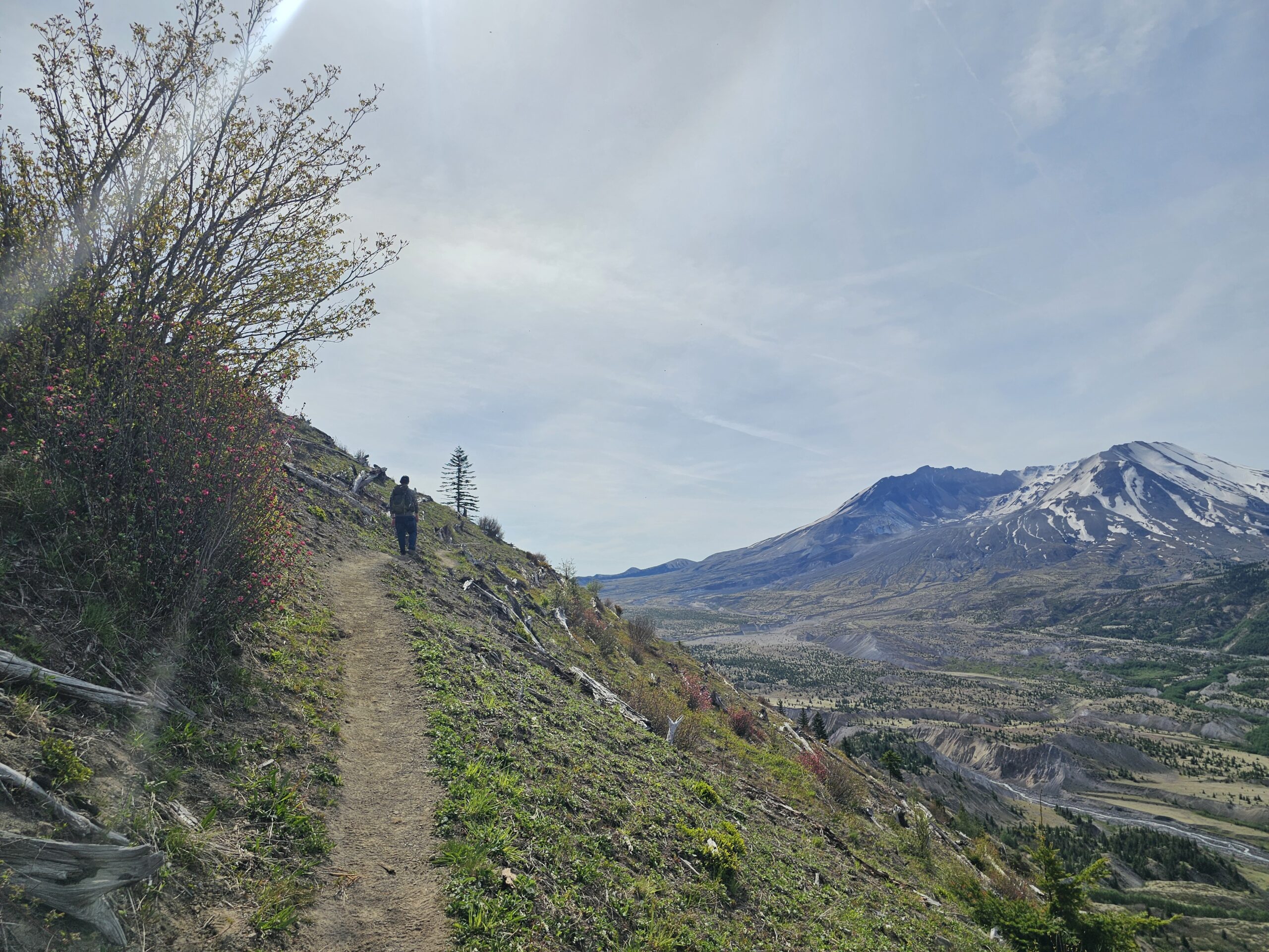
The Boundary Trail was in a bit different condition then the Hummocks Trail. The majority of the trail was exposed and provided almost continual views of the mountain. Not quite continual, there were brief moments where the trail would dip back into a set of trees, and we would be eager to see the mountain again. The trail itself was in pretty decent condition, however, there were muddy patches, dusty patches and a couple spots where the trail narrowed and the ground was shifty. I would recommend a set of trekking poles for this trail as they did come in very handy, though Daniel was able to take the trail without them.
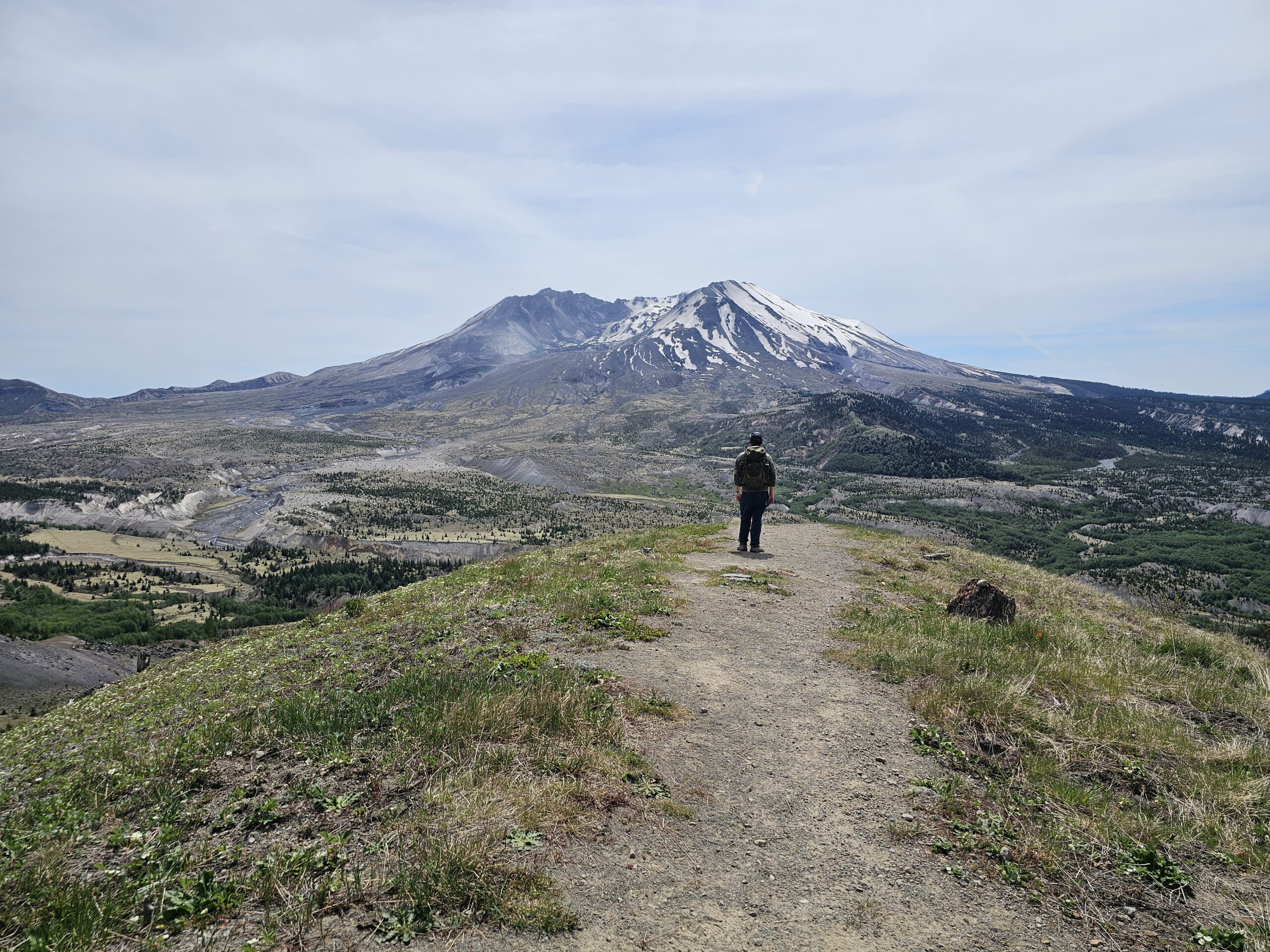
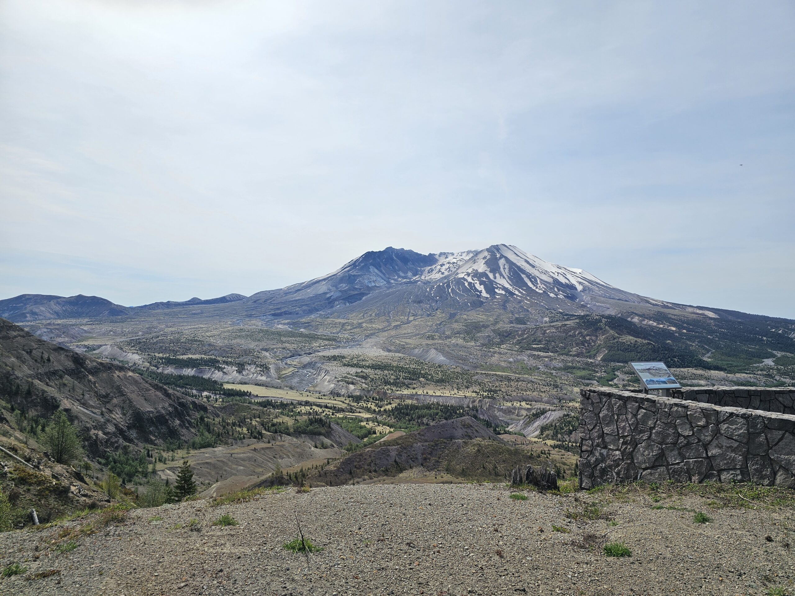
At about 4.5 miles into the trail you will realize just how close to the the closed highway you are hiking. There is a viewpoint that was once easily drove up to and shortly after that is the large parking lot that used to be full of cars. Currently the parking lot is full of moss and grass that is slowly making a bold effort to take back the pavement. While looking at this parking lot it is easy to fantasize about how nice it would be to have your car parked there. . . but . . . thankfully there is a trail for when roads are inaccessible. After short fantasy and continuing to climb up the boundary trail before long you are met with a paved trail and the Johnston Ridge Observatory and are face to face with Mount St. Helens and her crater. We both agreed that the crater looks like it was a chair carved for giants. Not sure it would be the most comfortable chair.
We took a nice long break at the observatory and enjoyed a peanut butter and jelly sandwich some chips and lots of laughter. Full of sandwiches we started back on the trail and headed back down. Some of the sections on the way down were a bit dicey as the loose rock made the trail incredibly slippery. At one point Dani elected to scoot along the trail on her butt as footing was precarious. Daniel on the other hand was able to gracefully make it down the same section. . . take that as you will.
Please remember the Johnston Ridge Observatory is closed. This means there is no garbage service, so PLEASE pick up after yourself. Leave the trail better then it was.
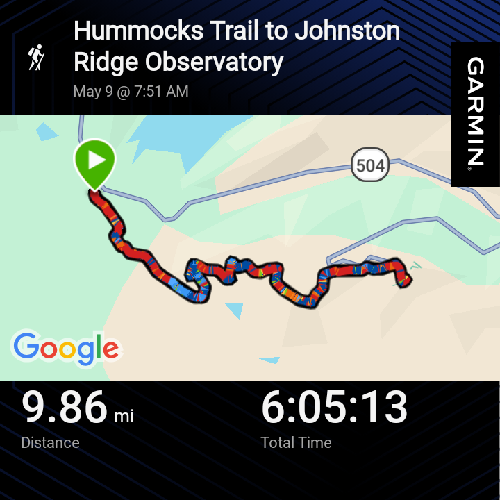
Finishing up the trail, we took the Hummocks Trail the same route that we came up as it is a shorter and more gradual climb out. Completing the hike we finished just shy of 10 miles and we could gleefully say we made it to the Johnston Ridge Observatory. This trail had been on our trail-wish list for a couple of years.
It is important to note, that this trail is VERY exposed to the sun and it is encouraged to wear sunscreen or some sort of sun protective clothing to prevent sunburns.
Trail Conditions
The trail was in fantastic shape, easy to navigate. On the Boundary Trail there are a few portions where the trail narrows and the footing is quite dicey due to the loose rock. However, with cautious footing and a pair of trekking poles it was nothing that we couldn't handle.
Watch on YouTube!
Adventure Details
At a Glance
Miles - 9.86
Elevation Gain - 1,825ft
What We Carried
Pack: Deuter Trail S28 / Osprey Stratos 36
Gaiters: Dirty Girl Gaiters
Shoes: Adidas Terrex Skychaser / Adidas
Trekking Poles: These
Snacks, Second Breakfast, and more
Breakfast - Granola & Yogurt
Lunch - Peanut butter and Jelly sandwiches with chips
Dinner -
Trail Snacks - Carrots, Dried Edamame, Peanut Butter Crackers, Chomps Meat Treats, Yogurt Covered Cranberries, Salami w/ Cheese, Apple
Extras - Nerds Gummy Clusters & LMNT Electrolytes
Soundtrack
Follow us & Get Lost!
Double D Gets Lost